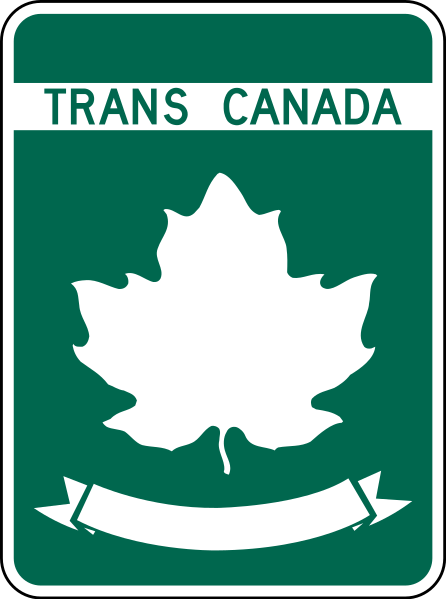
Trans Canada Highway
Why I'm Exploring the Trans Canada Highway
- Sort of a sibling to the Pan American Highway, this covers the East/West width of the Americas
- Canada is so close, yet so different than the us. That contrast is compelling
- Canada Day, Hockey, Letterkenny, Beavers, Mounties, Pow Wows and Snow
- Blame Canada!
The Trans-Canada Highway (French: Route Transcanadienne) is a transcontinental highway system within the country of Canada. The system traverses all ten provinces of Canada, and the main route travels 7,821 kilometres (4,860 mi) between Victoria, British Columbia, and St. John's, Newfoundland and Labrador, making it one of the longest routes of its type in the world.
Construction of the main route started in 1950 due to the signing of the Trans-Canada Highway Act. This act allowed federal and provincial governments to begin building sections of the highway. The highway was opened by Prime Minister John Diefenbaker in 1962; however, construction of the route was not completed until 1971. Since the opening of the main route, numerous other routes have been designated to the system, which connect to the main route at numerous points. The largest of these routes is the Yellowhead Highway from Haida Gwaii, British Columbia to Winnipeg, Manitoba, which runs north of the main route. The entire system, including all routes, totals a distance of approximately 12,800 kilometres (8,000 mi).
The routes within the Trans-Canada Highway system are built to varying design standards. Although some portions are divided highways or freeways, the majority of the highway sections are two-lane, undivided highways, as the system was originally designed as such. The longest divided highway segment in the system runs approximately 1,500 kilometres (930 mi) from the Rocky Mountains to the Manitoba–Ontario provincial border. Although the network does not enter any of Canada's three northern territories or run to the United States border, it does form part of the country's National Highway System (NHS), whose other routes provide connections to the Northwest Territories, Yukon, and the border.
-Wikipedia
Construction of the main route started in 1950 due to the signing of the Trans-Canada Highway Act. This act allowed federal and provincial governments to begin building sections of the highway. The highway was opened by Prime Minister John Diefenbaker in 1962; however, construction of the route was not completed until 1971. Since the opening of the main route, numerous other routes have been designated to the system, which connect to the main route at numerous points. The largest of these routes is the Yellowhead Highway from Haida Gwaii, British Columbia to Winnipeg, Manitoba, which runs north of the main route. The entire system, including all routes, totals a distance of approximately 12,800 kilometres (8,000 mi).
The routes within the Trans-Canada Highway system are built to varying design standards. Although some portions are divided highways or freeways, the majority of the highway sections are two-lane, undivided highways, as the system was originally designed as such. The longest divided highway segment in the system runs approximately 1,500 kilometres (930 mi) from the Rocky Mountains to the Manitoba–Ontario provincial border. Although the network does not enter any of Canada's three northern territories or run to the United States border, it does form part of the country's National Highway System (NHS), whose other routes provide connections to the Northwest Territories, Yukon, and the border.
-Wikipedia